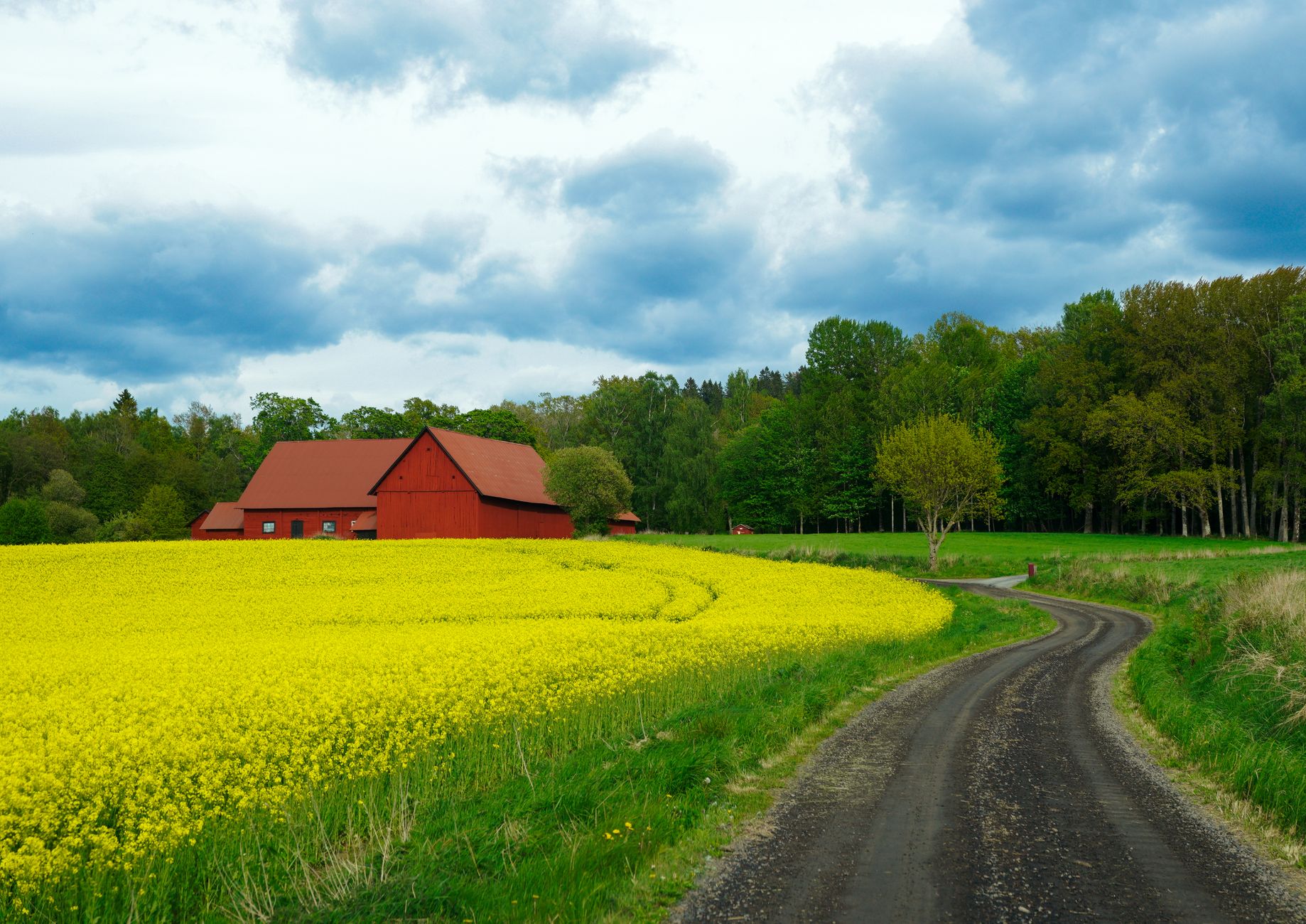
West on Highway 49 out of Springfield, the road climbs briefly, drops into the Red River bottom, and gives you the best 25-minute drive in the county. You pass working tobacco barns — dark-fired, blackened, still in use for Robertson County's signature crop — and in October the roadside stands sell sorghum molasses in mason jars for $9. The Red River bridge crossing near Adams is the photograph everyone posts; pull off just past the bridge, north side, for the wide angle.
This ranks first because it delivers on every promise: farm scenery, historic barns, water, and a destination (Port Royal State Park) at the end. Fall foliage peaks around October 25 in an average year; the sycamores along the river turn yellow, not red, and pair with the black barns for a specific palette you cannot find anywhere else in Middle Tennessee. Drive it at 4 p.m. for backlight.
Start at the Cedar Hill four-way, take Kilgore Trace Road north, loop east on Cedar Hill Road, and come back into town via Highway 49. This is a working-farm loop — no state park, no signage, just barns, fields, cows and the occasional Amish buggy from the Cross Plains-area community. The road is two-lane, striped, and lightly trafficked; you can pull off at any wide shoulder without blocking anyone.
The reason this ranks second: it is the most authentically rural loop within 20 minutes of Springfield. No tourist infrastructure. No brown state park signs. Just the county as it actually is. Do not drive it before 7 a.m. or after 6 p.m. on a weekday — school buses share these roads and there are no shoulders for pulling over. Sunday morning at 10 a.m., when the Amish are not driving and locals are at church, is the empty-road window.
East on Highway 25 toward Orlinda takes you through the higher, rolling section of Robertson County, up onto the ridges that separate the Red River drainage from the Sulphur Fork. The road passes hayfields, cattle, and the occasional dark-fired tobacco barn. Orlinda itself is a two-block town with a post office, a diner, and not much else, but it makes a good turnaround point. Add a return via Highway 52 for a 30-mile loop.
This ranks third because the scenery is real but repetitive — 45 minutes of similar farmland without a river, park or major landmark to break it up. Best in late spring when the hayfields are green and the sky is deep blue, or in early June when tobacco is planted and the fields are striped. Skip in July and August when heat haze flattens everything and the light is bad after 9 a.m.
North on Highway 41 out of Springfield takes you through Cross Plains, past Thomas Drugs, and up to Adams and the Bell Witch country. The scenery on Highway 41 itself is mixed — there is commercial development around Cross Plains — but the return via Highway 76 west, then south on smaller roads through the Adams-to-Springfield agricultural belt, is the good part. Look for the historic Bell family cemetery signage; a five-minute stop adds context.
This ranks fourth because a third of the loop is on a busier state highway where you cannot easily pull off, and the trucks on 41 kill the mood. But the Highway 76 portion is genuinely beautiful, and combining it with a Bell Witch Cave tour and lunch at Thomas Drugs makes a full afternoon. Drive it counterclockwise (north on 41 first, back on 76) so the sun is behind you on the pretty stretch.
West on Highway 76 out of Springfield toward Clarksville is a working commuter road, but the middle 15 miles — between Adams and the outskirts of Clarksville — cut through some of the prettiest bottomland in the region. The road follows creek drainages, crosses the Red River again, and passes farms that have been in the same families since the 1830s. There are two roadside produce stands in season (June through September) that sell corn, tomatoes and cantaloupe cheap.
This ranks last because it is a means-to-an-end road for most drivers — you’re usually on it to get to Clarksville, not to look around — and traffic moves at 55 mph without many pullouts. But if you drive it slowly, on a Sunday, with a coffee, the middle section holds up. Best in mid-May when the wheat is heading out and the fields glow gold-green in evening light.
October 22 to November 5 in a typical year, with peak around October 28. Robertson County trees are dominated by oak, hickory and sycamore, so the palette runs yellow-brown-orange rather than the red-heavy palette you get in the Smokies. Cooler nights in mid-October brighten the colors; a warm autumn dulls them.
Yes, all of them, unless there's been a snow or ice event — Robertson County only gets salt on the state highways (25, 41, 49, 52, 76), so the smaller roads like Kilgore Trace can stay slick for 24-48 hours after a storm. January and February are the least scenic months; everything is brown and gray.
Highway 49 to Port Royal and the Kilgore Trace loop are the two ridable options — low traffic, striped shoulders on parts of 49, and no significant climbs. Highway 41 is not safe for cycling due to truck traffic. Ride early morning, before 8 a.m. on weekends, and wear high-visibility gear; drivers do not expect cyclists on these roads.
Every booking through Springfield Destinations funds one verified tonne of carbon removal — same room, same price, no markup.
Find a stay