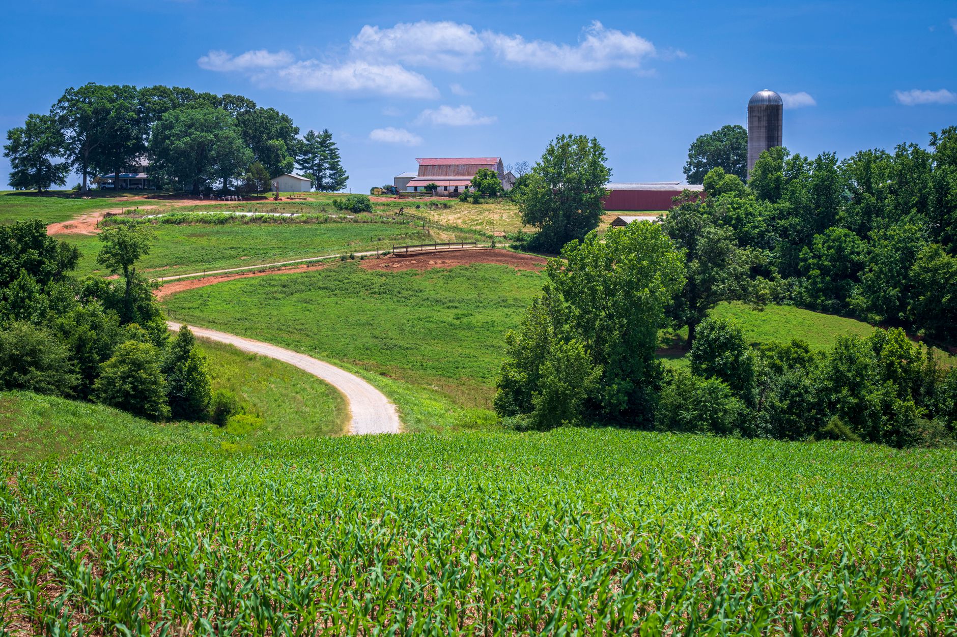
This is the drive to do first. Head north out of Springfield on Highway 41, past the tobacco barns lining both sides of the road, through Cedar Hill and into Adams — about 20 minutes of continuous rural Tennessee that gets better as you go. In curing season the barns are smoking, the leaves are hanging in the open bays, and the light in late afternoon makes the whole corridor glow. Turn west at Adams onto Highway 76 and cut down to Port Royal State Park along the Red River bottoms.
Total loop back to Springfield is about 45 miles and takes 90 minutes without stops, three hours with a picnic at Port Royal and a Bell Witch tour at Adams. The pavement is good, traffic is thin, and pullouts exist where you’ll want them. Do it between mid-September and early November for peak leaf and curing, or in April when the redbuds and dogwoods bloom along the river. Ranked first because the scenery holds up for essentially the entire loop, not just a few miles.
Highway 49 west out of Springfield rolls through gentle farmland for about 15 miles, drops down through Cedar Hill, and then descends toward the Cumberland River bottoms as it approaches Ashland City. The last ten miles into Ashland City are the payoff — bluffs, river bends, and the road winding through timber that thickens as you approach the water. Total one-way distance is about 35 miles, 50 minutes without stops.
Make it a loop by returning via Highway 12 through Cheatham Wildlife Management Area, which adds another 30 minutes but includes the best views of the Cumberland River bluffs on the entire route. Time it to arrive in Ashland City around noon for lunch at the Riverbluff Grill, then drive the loop back in afternoon light. Ranked second because the middle stretch on 49 is honest farmland — pretty but not remarkable — while the bookends are genuinely excellent.
Everyone drives I-65 south to Nashville. Don’t. Instead cut southwest on Highway 431 through Coopertown, then wind down through Joelton on the county-road network toward the Cumberland. The road climbs the ridge that separates Robertson County from Davidson, and there are two or three viewpoints on the way down where you can see Nashville's skyline in the distance across a foreground of rolling farmland. About 40 miles to downtown Nashville, an hour without traffic.
This is best in late afternoon coming home from a day in the city — you’ll hit the ridge with the sun behind you and Nashville lit up. Fall colour is decent through late October, and the redbuds in April along the ridge road are worth the detour on their own. The catch: the route requires paying attention to turns because the signage on the county roads is not generous. Bring a paper map or download the route in advance. Ranked third because the destination pulls it, but the drive itself is genuinely better than the interstate.
Highway 25 heading east out of Springfield is the sleeper drive on this list. It rolls through some of the highest ground in the county, passes through Cross Plains with its intact crossroads village, and then descends into the strawberry-farm country around Portland. About 30 miles to Portland, 45 minutes. The May strawberry harvest and the October apple stands are the calendar peaks, but the drive holds up year-round.
Stop at Thomas Drugs in Cross Plains for a milkshake and add 30 minutes. Return via Highway 52 through Orlinda to make a loop, which adds farm-country miles and gets you past several working dark-fire operations. Total loop about 70 miles, half a day with stops. Ranked fourth because it's genuinely scenic but the western half — closer to Springfield — is more built-up than the routes north and west, which pulls the average down.
South out of Springfield on Highway 41 the country opens into rolling hills that get more dramatic as you approach Ridgetop, then drops through the Sycamore Creek valley toward Joelton. The Ridgetop stretch has legitimate views to the east across the valley, and the creek bottoms are wooded and quiet. About 20 miles one-way, 30 minutes. It's a good short drive when you have an hour to spare rather than a half-day.
The downside is that Highway 41 carries commuter traffic morning and evening, so time this for mid-morning or early afternoon on a weekday, or any weekend outside major event days. Pair it with lunch at one of the small restaurants in Ridgetop or continue south to Goodlettsville for more options. Ranked fifth because it's a solid short drive but doesn’t have the sustained scenic run of the top three.
Highway 431 north from Springfield loops through Orlinda, a tiny community with an intact old store and a few remaining tobacco barns, then cuts east toward White House and back down 31W to Springfield. About 45 miles, 75 minutes without stops. The Orlinda stretch is pretty in the way most Robertson County farm roads are pretty; the White House and 31W sections are more developed and less rewarding.
This ranks last because the return leg via 31W is honestly not scenic — it's a busier road with more commercial development — and the loop is stronger as a one-way out to Orlinda than as a full circuit. If you’re doing it, drive out via 431, have coffee somewhere in Orlinda or Adams, and return via the same route rather than committing to the loop. Or use it as a way to string together a stop at the White House museum with a rural drive.
An hour and a full tank: the Highway 41 south loop to Ridgetop, or the short version of 41 north to Cedar Hill and back. Two hours and a coffee: Highway 49 west to Cedar Hill and back via the county roads. A half-day: the top-ranked Adams and Port Royal loop, with lunch built in. A full day: combine the top loop with lunch at Rocking Chair in Cedar Hill and afternoon at Bell Witch, and you have a genuinely good Robertson County day.
Season matters more than any of these rankings suggest. From mid-June through August the light is harsh and the humidity dulls the distant views; late September through early November is the peak window, and April through mid-May is the second window. Avoid mid-summer midday drives unless the destination is the water at Ashland City or Port Royal. Winter drives are surprisingly rewarding — the bare trees open up ridge views you can’t see in summer — but pick a clear day.
The Highway 49 corridor and the county roads west of Cedar Hill have low enough traffic to ride comfortably on weekday mornings. Highway 41 has too much truck traffic to recommend for road cycling. The Cumberland River Bicentennial Trail out of Ashland City is the best rail-trail option in the region and is 12 miles paved one-way.
The stretch of 41 between Cedar Hill and Adams has multiple safe pullouts near tobacco barns. Port Royal State Park has walking access to the Red River. The ridge coming down toward Joelton on the Nashville back route has two unofficial pullouts on the east side of the road. Pack a real camera; phones flatten this landscape.
All six routes are fully paved and fine for any car. County roads on the returns can be narrow and occasionally rough at the edges but never anything a standard rental can’t handle. Watch for tractors in spring and fall — pass with patience, not speed.
Every booking through Springfield Destinations funds one verified tonne of carbon removal — same room, same price, no markup.
Find a stay